Inland Waterways Map of Great Britain

Sale
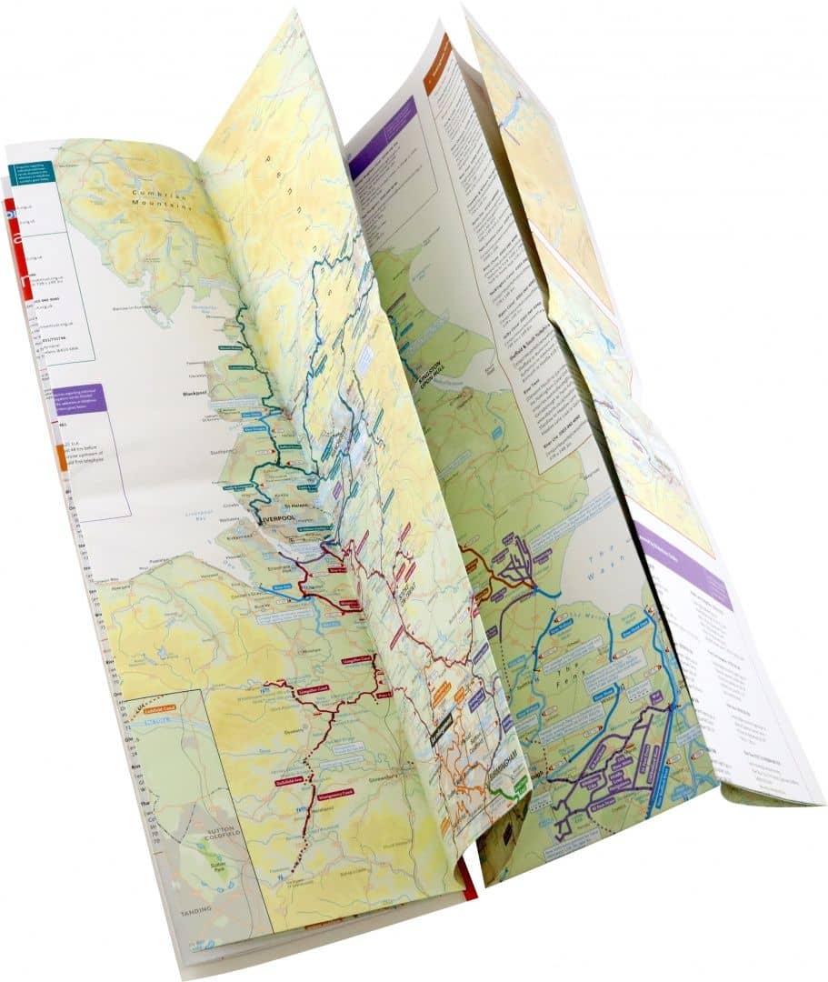
The bestselling guides to Britain's canals and rivers for 50 years. The map companion to the Collins Nicholson Waterways Guides, covering the entire network of canal and river navigations in England, Scotland and Wales, including newly restored/opened canals and rivers. The map identifies: - narrow and broad canals; - navigable rivers; - tidal river navigations; - waterways under construction. Also: - contact telephone numbers and dimensions for each waterway - internet links Clear insets of the Birmingham Canal Navigations, Scottish inland waterways, the Norfolk Broads and the London area.
Go to description and details| Publisher | Collins |
| Series | Collins Nicholson Waterways Guides |
| Publication year | 2020 |
| Pages | 2 |
| Language | Английский |
| ISBN | 978-0-00-836380-2 |
The bestselling guides to Britain's canals and rivers for 50 years. The map companion to the Collins Nicholson Waterways Guides, covering the entire network of canal and river navigations in England, Scotland and Wales, including newly restored/opened canals and rivers. The map identifies: - narrow and broad canals; - navigable rivers; - tidal river navigations; - waterways under construction. Also: - contact telephone numbers and dimensions for each waterway - internet links Clear insets of the Birmingham Canal Navigations, Scottish inland waterways, the Norfolk Broads and the London area.
| Publisher | Collins |
| Series | Collins Nicholson Waterways Guides |
| Publication year | 2020 |
| Pages | 2 |
| Language | Английский |
| ISBN | 978-0-00-836380-2 |
| Cover | Лист - обозначение переплета для плакатов, календарей |
| Paper | Мелованная |
| Illustrations | Цветные |
| Dimensions | 135 × 240 × 10 mm |
| Weight, g | 156 |