London A-Z Street Atlas

Soon
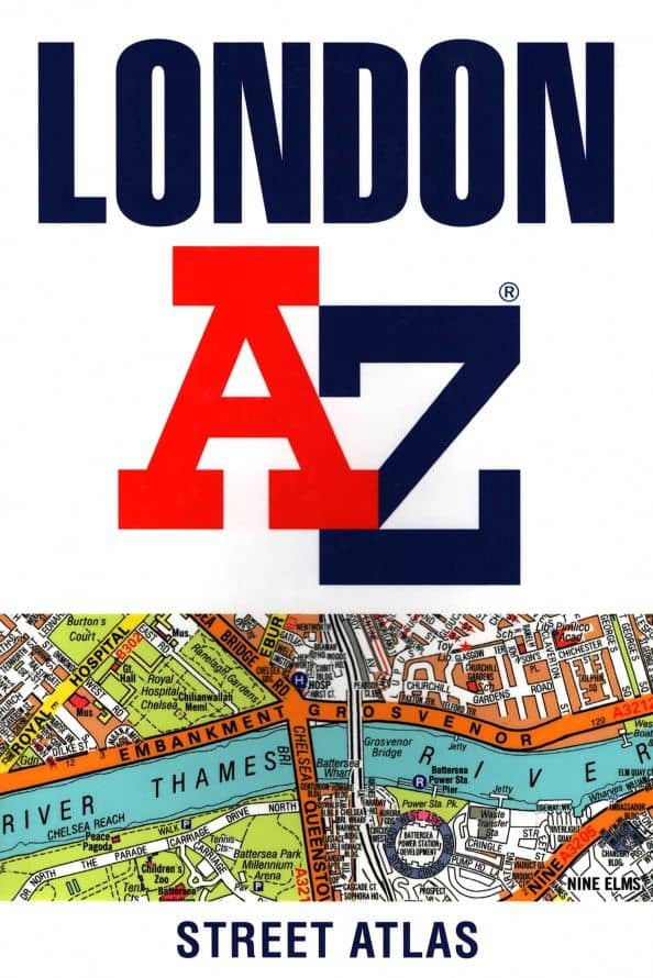
Navigate your way around London with this detailed, easy-to-use and up-to-date A-Z Street Atlas. First published in 1936, this iconic atlas is a trusted means of finding your way around the capital city. The main mapping extends beyond Central London from Heathrow Airport to Chingford at a scale of 2.88 inches to 1 mile, featuring postcode districts, one-way streets, the Congestion Charging Zone and Low Emission Zone. The large-scale street map of Central London – at a scale of 5.75 inches to 1 mile – cover Regent’s Park and Shoreditch, Chelsea and Vauxhall, Hyde Park and Bermondsey. A comprehensive index lists streets, selected flats, walkways and places of interest, place, area and junction names. Additional healthcare (hospitals, walk-in centres and hospices) and transport connections (National Rail, London Tramlink, Docklands Light Railway, London Underground and Overground stations, and River Bus pier) are indexed as well. Also included are: • Overview map of the Congestion Charging Zone • West End Theatre map • London Connections rail services map • London Underground map
Go to description and details| Publisher | HarperCollins |
| Publication year | 2020 |
| Pages | 462 |
| Language | Английский |
| ISBN | 978-0-00-838799-0 |
Navigate your way around London with this detailed, easy-to-use and up-to-date A-Z Street Atlas. First published in 1936, this iconic atlas is a trusted means of finding your way around the capital city. The main mapping extends beyond Central London from Heathrow Airport to Chingford at a scale of 2.88 inches to 1 mile, featuring postcode districts, one-way streets, the Congestion Charging Zone and Low Emission Zone. The large-scale street map of Central London – at a scale of 5.75 inches to 1 mile – cover Regent’s Park and Shoreditch, Chelsea and Vauxhall, Hyde Park and Bermondsey. A comprehensive index lists streets, selected flats, walkways and places of interest, place, area and junction names. Additional healthcare (hospitals, walk-in centres and hospices) and transport connections (National Rail, London Tramlink, Docklands Light Railway, London Underground and Overground stations, and River Bus pier) are indexed as well. Also included are: • Overview map of the Congestion Charging Zone • West End Theatre map • London Connections rail services map • London Underground map
| Publisher | HarperCollins |
| Publication year | 2020 |
| Pages | 462 |
| Language | Английский |
| ISBN | 978-0-00-838799-0 |
| Cover | обл - мягкий переплет (крепление скрепкой или клеем) |
| Paper | Мелованная |
| Illustrations | Цветные |
| Dimensions | 130 × 193 × 20 mm |
| Weight, g | 536 |